NASA Hydrilla Mapping
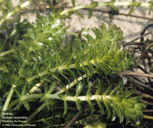
Using satellite imagery from the Landsat 8 Operational Land Imager, NASA researchers created a "rapid assessment tool... to map the extent of hydrilla and predict future spread throughout the SEUS (south eastern United States) by quantifying biomass through a time-series analysis.
The data obtained was then compared and refined against images collected from unmanned aerial systems, with the model developed being validated by in situ biomass measurements.
Check out this video on YouTube and the original abstract here.
To enable comments sign up for a Disqus account and enter your Disqus shortname in the Articulate node settings.